21st Feb 2016
Well, this little ole corner of, yes, Wichenford has seen life, it really has. Plenty.
If it were not recorded here its history would go unremembered but this little corner was on the edge of a long running fight for the protection of our rights of way against enclosures by those who thought they could ride rough shod over laws governing our highways.
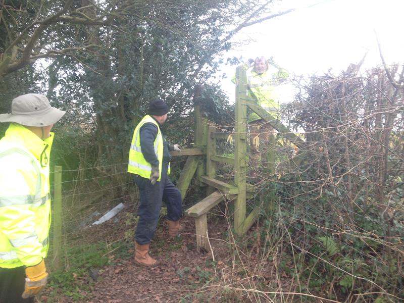
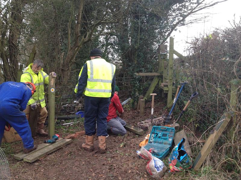
The hedge line we worked on today forms the boundary between the parishes of Martley and Wichenford. For much of the length of this boundary there are rights of way on both sides. Silly really but that is how it is. Ross Green is not called Ross Green for nothing. It was well, a green–a common open area within a village or other settlement. Traditionally, a village green was often common grassland at the centre of an agricultural or other rural settlement, and was used for grazing. Some also have a pond, often originally for watering stock such as cattle (WikiP).
Behind the five houses on the Wichenford (East) side of the boundary hedge, there used to run a street width access way, long forgotten but until about 15 years ago, still extant i.e. in existence in law.
One particular senior rights of way officer at County Hall decided that this route (among many others he focussed on), must be opened up. This was to prove very difficult indeed, as the house owners had taken the area into their gardens. Protests reached John Major. Many antagonistic meetings were held, counter arguments put forward but in the end it was imposed that the wide right of way could be extinguished if the local farmer would allow the route to be transferred to the other side i.e. the Martley side of the hedge line. Cash changed hands, quite a bit actually, and the old Wichenford route for the length behind the five houses, was placed on the Martley side, on top of, those who have been following the story so far will realize, a footpath that already existed –in those days numbered Martley 40. Peculiarly the footpath on the Martley side crossed the hedge line into Wichenford more or less where we worked today and followed only the Wichenford side of the hedge as Wichenford 1, until the road was reached. It crossed the road, ran on the Wichenford side for some way then, at the next lane (near Ben’s house) changed into a bridleway on the west of the hedge line in Bulmers’ orchards, the old Stocks Lane, with a footpath on the eastern (Wichenford) side. Another bit of peculiar is that the parish boundary crosses the hedge line where a cross field path joins the main route on the way back to the road (are you following this or just tired?)
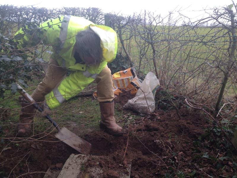
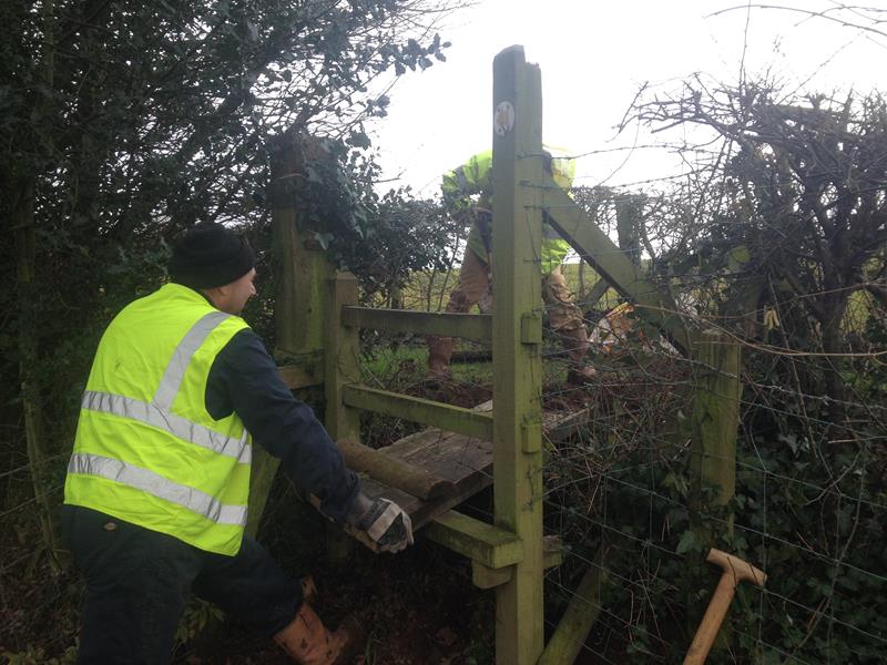
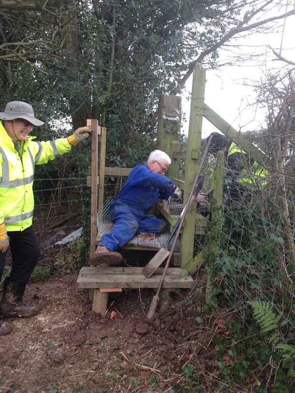
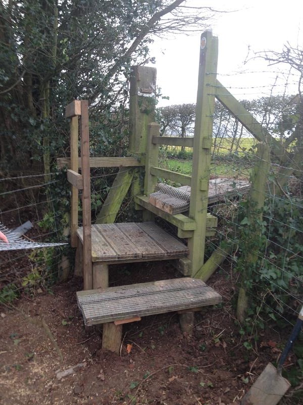
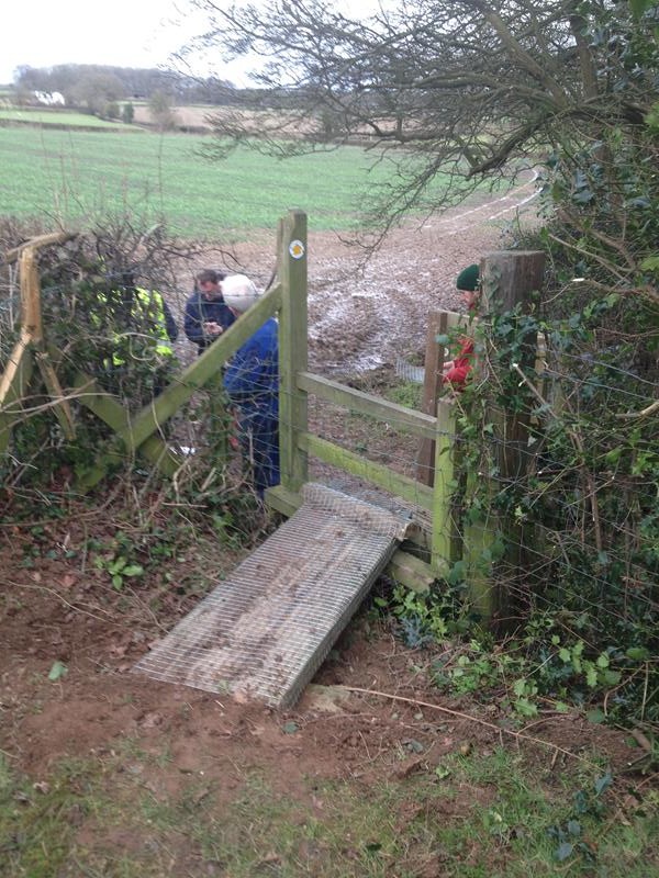
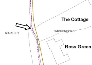
So what does this have to do with where we worked today? Well in fact for a few yards just at this corner, the route on the definitive map, being the legal document, is not as it was laid out on the ground. Even though as I understand it, County was very much involved with the change in route, it will not therefore at this point, sanction anything we do to make the route safer or provide any materials that we might need as they could be seen to be accepting an illegal routing. Here is a map:
Surely it is here that local common sense takes over from the ass of the law? A bit of live and let live with no harm to anyone.